About Bald Hill Reserve
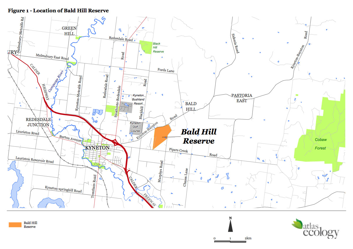
Bald Hill Reserve is one of Macedon Ranges Shire’s best-kept secrets found only six kilometres to the east of Kyneton. It borders Pipers Creek Road, Baynton Road, Mount St Mary’s Lane and to the west, private allotments including Deakin Court.
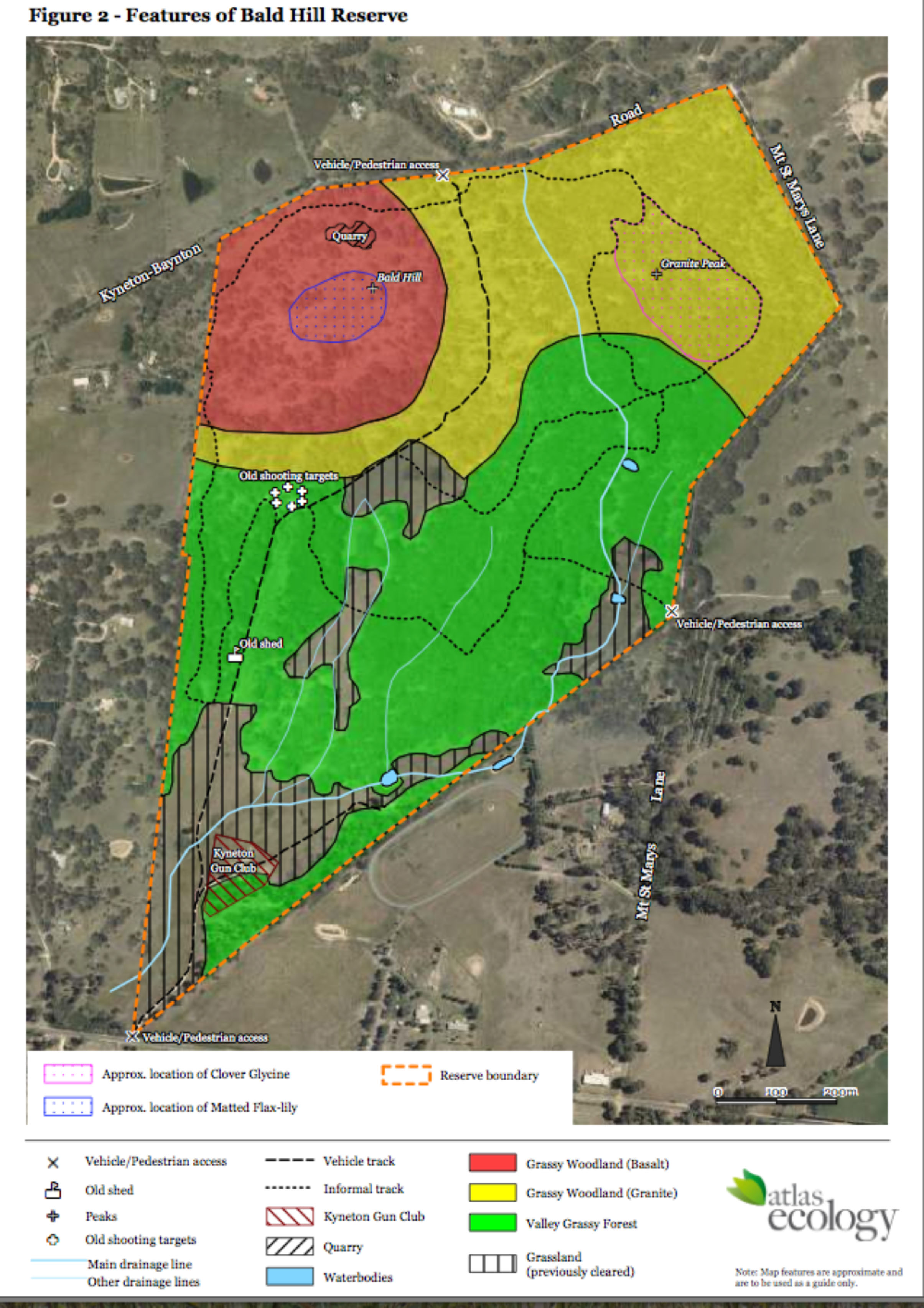
It is a 96-hectare forest, woodland and grassland reserve owned by the Macedon Ranges Shire that features a rich diversity of indigenous flora and fauna including state and nationally significant species. It is the largest and most intact area of native vegetation within the Kyneton region consisting of several species of eucalypts over a ground layer of native grasses, herbs, lilies and orchids.
There are two peaks in the reserve, which form a prominent feature of the surrounding Kyneton landscape, providing a junction between granitic and basaltic geological formations. Sites of indigenous cultural importance have been identified and will be investigated in the future through the correct channels.
The reserve was previously known as the Kyneton Rifle Range with a strong military history, having served as a Department of Defence testing and training site between 1906 and 1986. The southern end is now used by the Kyneton Clay Target Club every fourth Sunday and on the second Sunday in December. This group was until recently known as the Kyneton Gun Club.
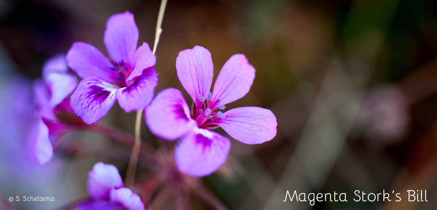
Bald Hill Reserve provides low impact, passive tourism opportunities for photographers, geologists and naturalists; with something to offer for anyone with an interest in native plants (in particular wildflowers), frogs, birds, reptiles and other creepy crawlies, native animals including the phascogale, sugar gliders and much more.
Location:
Our location is on the map below, with a more detailed area map below right.